Here are a couple of cool fun facts: the Gila Wilderness is the nation’s first designated wilderness area and the Gila National Forest is 3.3 million acres. So obviously, there’s plenty to explore in this western New Mexico area, but we will touch on the areas that we were able to squeeze in for one weekend. First, one more important piece of info: Gila is pronounced “hee-la” because it’s a Spanish word. We learned this the hard way when several of our coworkers made fun of us for pronouncing it the wrong way.
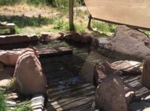
We ended up getting a late start for this adventure because we were lazy on Saturday morning, but we were still able to get lots of exploring in! We first stopped by the campground where we wanted to snag a site around 12:30 p.m. One of our coworkers had recommended Gila Hot Springs Campground as a wonderful place for lodging in this area and we now couldn’t agree more! This is a private piece of property about four miles prior to the Gila Visitor Center on NM 15. You will see a sign that says Gila Hot Springs on the right-hand side. If you pass by Doc Campbell’s General Store, you’ve gone too far. This campground fills up quick, so make sure to make a reservation online beforehand at gilahotspringscampground.com. There are only 12 campsites and there are three very well maintained hot springs for soaking at any hour when you have a campsite.
One of the three Gila Hot Springs right by our campsite!
It’s only $8 per night per person for camping and soaking (what a steal)! If you can’t snag a campsite here, you can day soak from sunrise to sunset for $5. Even though we recommend reserving a site online, we did not do this, so we stopped by to secure a site (there were only two left!) and then headed to the Gila Visitor Center to get our bearings.
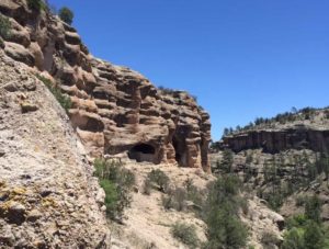
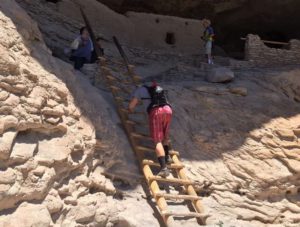
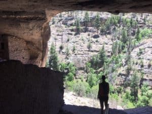
After that, we headed right to the Gila Cliff Dwellings. If you are heading back out of the Gila Visitor Center, you will backtrack slightly and take your first right hand turn after a bridge and follow this road to the Gila Cliff Dwellings Trailhead. You can park in this parking lot, check out the small museum, and then check in with a ranger to ask as many questions as you want. About 700 years ago, Puebloans built homes in some cool cliff caves found in this area. There is a just over a 1-mile hike you can do to see these cliff dwellings and it’s very worth it. It took us about an hour to do the hike, explore the cliff dwellings, and ask our questions.
Gila Cliff Dwellings
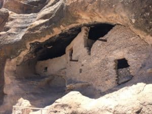
Remnants of the cliff dwellings from the ancestral Pueblo people
Looks a pretty cool house to us!
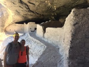
Climbing down from the cliff dwellings
They sure had a nice view from their dwellings!
Gila Cliff Dwellings
Remnants of the cliff dwellings from the ancestral Pueblo people
Looks a pretty cool house to us!
Climbing down from the cliff dwellings
They sure had a nice view from their dwellings!
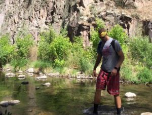
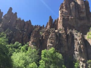
After this short and easy, but interesting and historical hike, we were ready for a longer one, so we headed out on our venture to find the Jordan Hot Springs. You can get to the trailhead of this out and back 13.3-mile hike on the way out from the Cliff Dwellings. You will see a sign that says TJ CORRAL TRAIL 729 on your left-hand side just before you cross a bridge over the river. You can park in the parking lot here and then start at the trailhead for Little Bear Canyon Trail. For the first ~three miles of this trail, it is quite burnt from a fire in 2012 and we must admit, it isn’t the prettiest trail you’ve ever hiked. Once you get about four miles in though, you’ll start crossing through the river several times and this portion of the trail is beautiful. You must hike through the river, so keep proper clothing/shoes and the weather in mind and look up water levels. We went in May of 2018 and the water only got up to knee level. We didn’t bring an extra pair of shoes because the weather was hot enough that it didn’t bother us, but it’s something to consider. This next part is the confusing part and is why we ended up not finding our destination. The Jordan Hot Springs are not labeled, and when we did our research online, hikers had mentioned having to cross the river anywhere from nine to 24 times before finding the hot springs. Our surest source said 15 river crossings, but even then, we could not find the hot springs. We searched for about half an hour, but then had to start our hike out, as we were running out of daylight and still had 6.6 miles to go. There were a few other hikers we ran into on our way out that were planning to camp by the hot springs, so we know it exists, but unfortunately, we cannot give specific tips for finding this great natural occurrence. We recommend doing your own research prior to trying to find these springs yourself and hike early so you have time to explore and enjoy the springs. Even though we didn’t find the Jordan Hot Springs, we still enjoyed the river crossings and beautiful views!
One of the many river crossings on the Jordan Springs Trail
Beautiful rocks on the Jordan Springs Trail
One of the many river crossings on the Jordan Springs Trail
Beautiful rocks on the Jordan Springs Trail
After all this hiking, we headed back to our already claimed campsite at the Gila Hot Springs Campground where we soaked in the hot springs in the daylight for a while, made a campfire, made some friends, and then returned to the hot springs for some star-gazing.
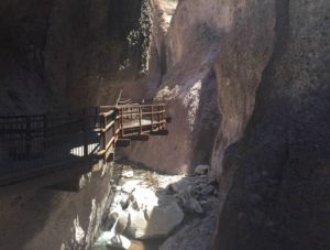
On Sunday morning, we rose with the sun and headed to The Catwalk, another hiking area in the Gila National Forest. This ended up being a longer drive than we expected, but it was another cool area to explore. It was a 2.5-hour drive from our campsite to Glenwood, the town just before The Catwalk hiking area. From the Gila hot springs campsite, you must take NM 15 back down to Silver City, and then cut over northwest on NM 180. The Catwalk is a structure that hangs off the walls of a gorge over Whitewater Creek, so you can see the water from an interesting vantage point.
The Catwalk in Gila Wilderness
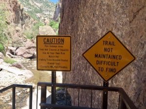
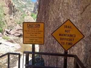
The Catwalk hike is about 1-mile round trip if you just hike to the end of The Catwalk. At the end of The Catwalk, they have this sign posted. There used to be a cool trail past this point, but some serious flooding destroyed most of it. Even though you can only find some parts of the trail, it is still fun to scamper along the large boulders that are now in this creek and make your own adventure.
The signs we passed before trying to create our own trail!
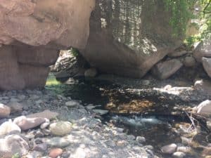
Scampering the Whitewater Creek
The signs we passed before trying to create our own trail!
Scampering the Whitewater Creek
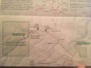
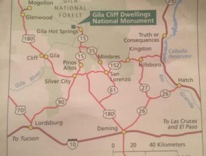
We barely scraped the surface of this huge area, so whether you follow our tracks or create your own, this is definitely an area of New Mexico you should check out! Here are a couple maps that may be helpful to refer to when visiting this area:
Map of the Gila Cliff Dwellings National Monument
Another helpful map if you’re visiting the area because service is not great!
Map of the Gila Cliff Dwellings National Monument
Another helpful map if you’re visiting the area because service is not great!
Contact Us!
We would love to hear from you! If you would like to leave us a message, please click on our email link below. We will respond as soon as possible.

Sign up for our Travel Blog
Be the first to read about our new adventures and recent travel tips!
We do not share or sell our email list. See our Privacy Policy below.
Contact Us
If you would like to contact us, please click on our email link below. We will respond as soon as possible!

Sign up for our Travel Blog
Be the first to read about our new adventures and recent travel tips!
We do not share or sell our email list. See our Privacy Policy below.

Sign up for our
Travel Blog
Be the first to read about our new adventures and recent travel tips!
We do not share or sell our email list.
See our Privacy Policy below.
